
 AND GEO-INTELLIGENCE USING GIS")
Over the last decade, there have been a major integration of artificial intelligence (AI) and geographic information systems (GIS). While GIS is a pow
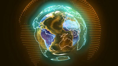
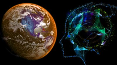
Over the last decade, there have been a major integration of artificial intelligence (AI) and geographic information systems (GIS). While GIS is a powerful technology with extensive data sets and a wide range of AI applications, artificial intelligence provides advanced methods for GIS projects. AI GIS is an amalgamation of AI technology and various GIS processes, such as spatial data analysis algorithms (GeoAI) that combine AI technology, as well as for a series of AI and GIS-enabled technologies. AI GIS has progressively have become the central focus of geoscience research and application in recent years.
Applying AI GIS to enhance and maintain the next stage of evolution of GIS technology systems is an efficient way to address the current intelligent problem of GIS systems. AI GIS first started to realize computer vision extraction of geographic information from satellite imagery images and videos. Furthermore, AI technologies such as voice recognition and speech synthesis can be launched, allowing for greater empowerment.
Geo-Intelligence
Geo-intelligence is a broad term that refers to geospatial representation, analysis, decision-making, design, and command that is based on GIS, remote sensing, and global positioning system technologies. The most distinctive characteristic that differentiates GIS from those other information technologies is geo-intelligence.
Traditional Geographic Information Systems (GIS) are still highly dependent on computing capabilities, particularly for 3D simulations, map making, and route analysis.
Why and when to Use GIS
Since all GIS systems include a wealth of information defined by geographical location, they are ideal training datasets for AI systems. In light of recent advances in computer technologies and image recognition, this AI is accepted. There are some successful attempts to utilize GIS and AI for pollution management and disease control.
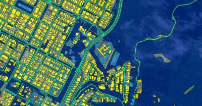
Satellite images deliver data at various levels of detail, that is still vastly underused. However, there are also some difficulties in recognizing buildings, roads, and other objects. Some other streamlined applications is combining GIS and IoT data to create realistic solutions to urban industrial concerns. Data from public institutions, such as health reports, pollution measurements, and so on, can also be accessed by such solutions.
Anthropogenic challenges
People who use and establish GIS systems must be knowledgeable in data science, machine learning, and geography. Furthermore, they must understand the fundamentals of the industry in which they perform and be able to link up with experts from other fields. Most of the time, these users will not have a deep understanding of GIS systems, so they are unable to provide sufficient help and rarely provide adequate funds.
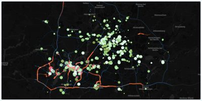
Image asset recognition
The image collection is analyzed using image-recognition software that has been trained to search for specific assets and verify how assets are interconnected. This software also examines type features and reads meters on photos, such as gas pressure. Image-recognition software performs effectively when photos have a geotag, but it can also work when photos are related to specific objects in the GIS. Following that, you’ll need to determine the correct asset type based exclusively on the image, then verify and rectify the data in the GIS database.
Utility mapping
Many illustrations exist in the utility GIS world, typically depicting different states of the network. Normally, drawing data of varying purposes and quality is manually retained in the utility asset registration system rather than automatically supplying the correct data into the GIS system. Machine learning algorithms can be used by data specialists to diagnose and improve faulty data situations. When assessing the diameter of the connecting pipes, for example, an algorithm can identify which missing valve type should be added. It can be difficult to fully train AI to be completely fit for these tasks, especially with so many obstacles ahead.
Data cleansing
Data cleansing and data improvement are time-consuming actions, especially when it comes to removing missing or incorrect data from assets that are hidden beneath the surface. GIS utility data, a typically vibrant collection of variable quality (historical) data, is typically memorized by engineers rather than stored in databases. That’s where machine learning can provide unique advantages to the utility industry.
Fonte: Satpalda.com