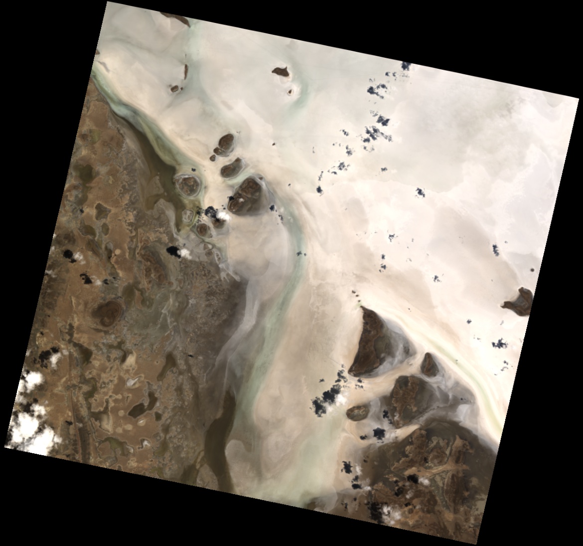
The Uyuni Salar in the Bolivian altiplano is the world’s largest salt flat. In this image acquired by PRISMA in January 2021 the satellite captured a portion of the salt flat border, north of the Estancia Ajia village. The surface of the Salar is known for its flatness and high albedo, dotted by small lakes and islands from ancient coral reefs. Compared to the ground out of the salt flat, cloud shadows can be clearly identified over the white surface. For its unique properties, the Uyuni Salt Flats are used to perform satellite sensor calibration. This area, rich in salts, is one of the world’s largest lithium reserves. Given the importance of this element for manufacturing electronic devices, the Salar represents a major economic resource for the South American country. Fonte: Agenzia Spaziale Italiana Commenti
The Uyuni Salar in the Bolivian altiplano is the world’s largest salt flat. In this image acquired by PRISMA in January 2021 the satellite captured a portion of the salt flat border, north of the Estancia Ajia village.
The surface of the Salar is known for its flatness and high albedo, dotted by small lakes and islands from ancient coral reefs. Compared to the ground out of the salt flat, cloud shadows can be clearly identified over the white surface. For its unique properties, the Uyuni Salt Flats are used to perform satellite sensor calibration.
This area, rich in salts, is one of the world’s largest lithium reserves. Given the importance of this element for manufacturing electronic devices, the Salar represents a major economic resource for the South American country.
Fonte: Agenzia Spaziale Italiana
Commenti

